Book details
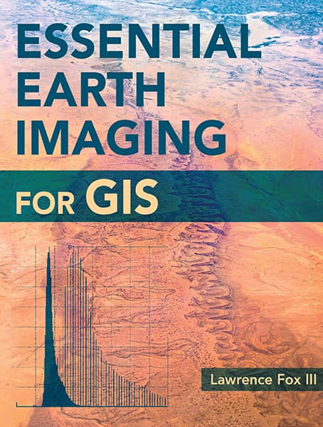
A guide to imaging technology and management, Essential Earth Imaging for GIS discusses characteristics of images obtained from aircraft and spacecraft, and how to enhance, register, and visually interpret multispectral imagery and point clouds. Geographic information system (GIS) professionals can use this book to learn about basic imaging technology. Students can use this book as a reference for introductory GIS courses that include multispectral image display and analysis.
Lawrence Fox III
Lawrence Fox III is emeritus professor of forest remote sensing and geographic information systems at Humboldt State University. He has been a remote sensing consultant for twenty years.


