Book details
Knowing how technology can improve health research and health-care management applications has never been more important.
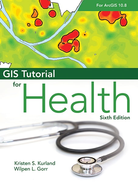
Geographic information systems (GIS) can provide health and human services professionals with the analysis and insights to make impactful, informed decisions about health care, health policy, and public health. Doing so starts with learning ArcGIS, the popular professional GIS application from Esri, using GIS Tutorial for Health for ArcGIS Desktop 10.8.
A workbook for learning the basics of ArcGIS within a health context, GIS Tutorial for Health for ArcGIS Desktop 10.8 introduces you to preparing, visualizing, and analyzing health data. Using a hands-on approach with real-world health-care scenarios that simulate how to develop and manage a GIS health project, the included exercises guide you to solve health problems using ArcGIS Desktop, specifically ArcMap.
You will learn:
- The basics of mapmaking and how to use spatial and tabular data
- How to design maps for a health study
- How to apply spatial analysis tools for health studies
- And more.
This sixth edition of GIS Tutorial for Health also includes updates for use with ArcGIS Desktop 10.8, an introduction to ArcGIS Online, and an international context using international health data.
Written by the authors of the popular GIS Tutorial series, GIS Tutorial for Health for ArcGIS Desktop 10.8 incorporates proven teaching methods in detailed exercises, "Your Turn" sections, and homework assignments. Suitable as both a computer lab textbook and for self-study, this book will give health management students and practitioners, health-care managers, IT specialists, and researchers the understanding and skill set to apply GIS to work in the health field.
Kristen S. Kurland
Kristen S. Kurland holds a joint faculty appointment at Carnegie Mellon University's Heinz School of Public Policy and Management and School of Architecture, where she teaches GIS, CAD, 3D visualization, and computer aided facilities management (CAFM).
Wilpen L. Gorr
Wilpen L. Gorr is a professor of public policy and management information systems at the H. John Heinz III School of Public Policy and Management, Carnegie Mellon University, where he teaches and researches GIS applications.